




Seismic Surveys for Geothermal Energy
Not all geological formations are suitable for producing geothermal energy. Seismic surveys are carried out as a first step in the exploration process to identify potentially promising formations and determine their depth within the subsurface.
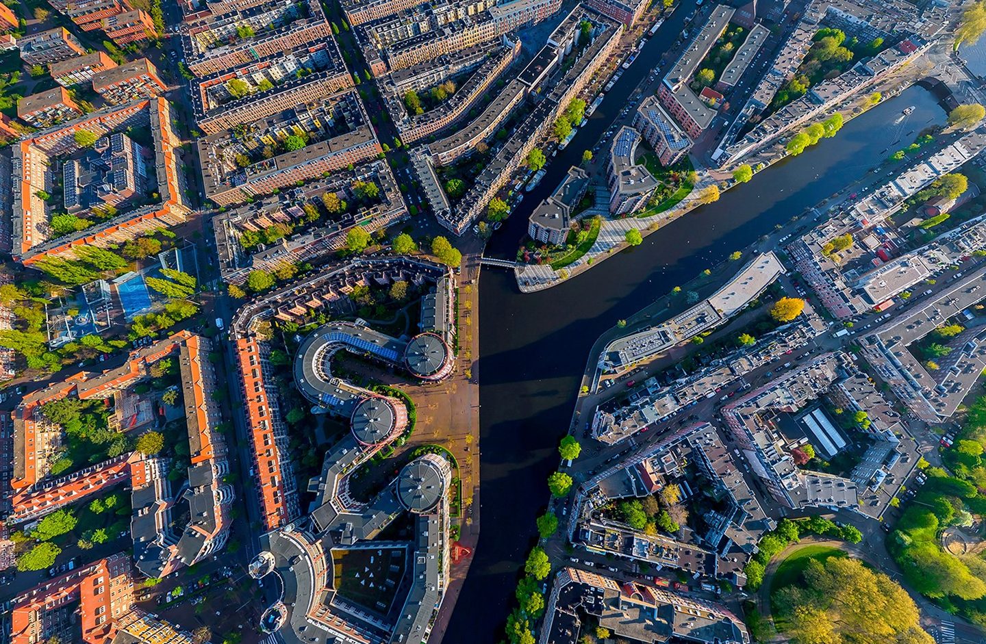
Seismic surveys are often the first step in the search for geothermal energy. Additional investigations, in the form of research drilling projects, may subsequently be required. These drilling projects provide insight into, among other things, the permeability of geological formations and the temperature of the water they contain. As part of the SCAN Geothermal Energy programme, Energie Beheer Nederland (EBN) carries out both types of research.

Use the form below to contact Gitta Zaalberg, Manager Operations Geothermal Energy.
"*" indicates required fields
What is a seismic survey?
During a seismic survey, sound waves are transmitted into the ground. Geological formations and subsurface structures reflect these waves back to the surface, where they are detected by geophones (ground microphones). The travel time of the reflected sound waves provides a wealth of information about the subsurface. This data makes it possible to create an image of underground geological structures at depths of approximately 4 to 6 kilometres below the surface.
What happens during a seismic survey?
Seismic surveys have been carried out in the Netherlands since the 1950s, providing many decades of experience with this type of subsurface investigation. There are three main techniques used to generate the sound waves required for seismic surveys: shot-hole seismic surveying, vibroseis surveying, and airgun seismic surveying. The most appropriate technique is selected based on the local conditions and the objectives of the survey.
-
Shot-Hole Seismic Surveying
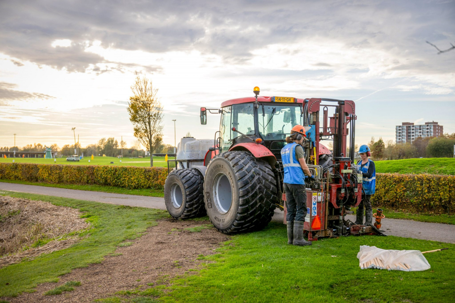
This technique is used on land, primarily outside built-up areas. A drilling unit mounted on an agricultural tractor drills a series of holes. A small seismic charge is placed in each hole and sealed with clay. The charges are then detonated one by one to generate sound waves.
-
Vibroseis Surveying
Vibroseis surveying is used in built-up areas where shot-hole seismic surveying is not suitable. Specialised vibroseis vehicles transmit sound waves into the subsurface. These vehicles resemble refuse collection trucks and are equipped with a vibrating plate at street level that generates the seismic signals.
-
Airgun Seismic Surveying
When seismic surveys are conducted in water, airgun seismic surveying is used. Compressed air is released into the water, creating a pressure wave that interacts with the seabed or lakebed and generates sound waves that travel into the subsurface.
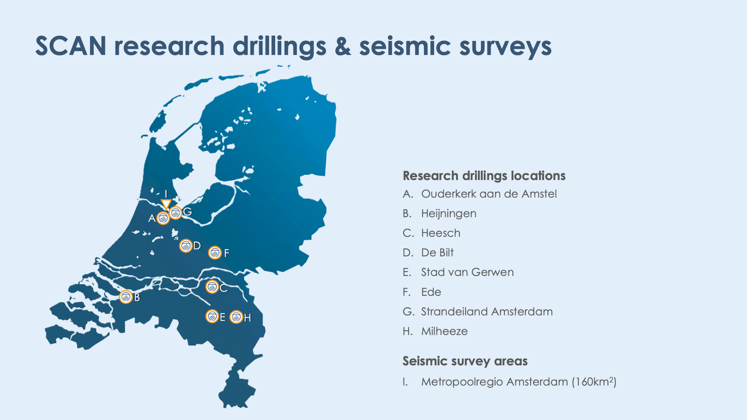 Overview of SCAN research activities that help improve knowledge of the Dutch subsurface and support the development of geothermal energy projects.
What does seismic data look like and what can it be used for?
Seismic surveys generate vast amounts of data. Specialists use advanced processing techniques and high-performance computing to transform these data into images of the subsurface known as seismograms. A seismogram is a graphical representation of reflected sound waves. By combining large numbers of seismograms, a cross-sectional image of the subsurface can be created. Geoscientists can then identify which geological formations are likely to be present and estimate the depths at which they occur.
For more information about seismic surveys, visit the SCAN Geothermal Energy website or learn more about the research drilling projects we carry out.